Navigation
Install the app
How to install the app on iOS
Follow along with the video below to see how to install our site as a web app on your home screen.
Note: This feature may not be available in some browsers.
More options
Style variation
You are using an out of date browser. It may not display this or other websites correctly.
You should upgrade or use an alternative browser.
You should upgrade or use an alternative browser.
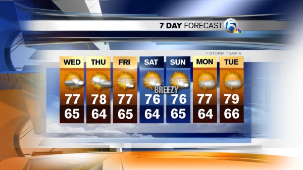
uh-oh... weather dosn't look good for saturday
- Thread starter SPiN
- Start date
Meghan
Super Moderator
- Mar 3, 2006
- 15,033
- 0
Last edited:

pricha00
New member
- May 4, 2007
- 296
- 0
You guys make me sick with your mid 70's weather in March. Our forecast calls for snow tomorrow. Heck we've been ecstatic with our mid 50's the last three days. I hope you all have a good time at detailfest and I wish I could be there to see all the nice work. The learning aspect would be nice too.
Pat.
Pat.
Harleyguy
New member
- Jan 6, 2009
- 2,349
- 0
You can laugh at us during Hurricane season if that will make you feel better:cheers:You guys make me sick with your mid 70's weather in March. Our forecast calls for snow tomorrow. Heck we've been ecstatic with our mid 50's the last three days. I hope you all have a good time at detailfest and I wish I could be there to see all the nice work. The learning aspect would be nice too.
Pat.
gewb
New member
- Oct 13, 2008
- 562
- 0
Hope the weather was nice for you. Check THIS from the National Weather Service for today (I'm leaving work early for the 96 mile drive home).
Regards,
GEWB
WYZ059-060-064>070-232200-
/O.CON.KCYS.BZ.W.0002.090323T1200Z-090324T1200Z/
CONVERSE-NIOBRARA-NORTH LARAMIE RANGE-LARAMIE VALLEY-
LARAMIE RANGE-PLATTE-GOSHEN-CHEYENNE FOOTHILLS-PINE BLUFFS-
INCLUDING THE CITIES OF...DOUGLAS...GLENROCK...LUSK...GARRETT...
LARAMIE...BUFORD...HORSE CREEK...WHEATLAND...GUERNSEY...
TORRINGTON...CHEYENNE...PINE BLUFFS
434 AM MDT MON MAR 23 2009
...BLIZZARD WARNING REMAINS IN EFFECT UNTIL 6 AM MDT TUESDAY...
A BLIZZARD WARNING REMAINS IN EFFECT UNTIL 6 AM MDT TUESDAY.
SNOW WILL SPREAD OVER ALL OF SOUTHEAST WYOMING BY 8 AM AND WILL
CONTINUE THROUGH TONIGHT. THE SNOW WILL BE HEAVY AT TIMES TODAY
AND EARLY TONIGHT. ACCUMULATIONS OF 12 TO 18 INCHES IN EAST
CENTRAL WYOMING WITH UP TO 20 INCHES IN THE NORTHERN LARAMIE
RANGE. FIVE TO 10 INCHES OF SNOW WILL ACCUMULATE OVER THE REST
OF SOUTHEAST WYOMING BY SUNRISE TUESDAY.
ALSO...NORTH WINDS WILL BE GUSTING 45 TO 55 MPH WHICH WHEN
COMBINED WITH THE HEAVY SNOW WILL CREATE BLIZZARD CONDITIONS
ACROSS THE AREA.
A BLIZZARD WARNING MEANS SEVERE WINTER WEATHER CONDITIONS ARE
EXPECTED OR OCCURRING. FALLING AND BLOWING SNOW WITH STRONG WINDS
AND POOR VISIBILITIES ARE LIKELY. THIS WILL LEAD TO WHITEOUT
CONDITIONS...MAKING TRAVEL EXTREMELY DANGEROUS. DO NOT TRAVEL. IF
YOU MUST...HAVE A WINTER SURVIVAL KIT WITH YOU. IF YOU GET
STRANDED...STAY WITH YOUR VEHICLE. FOR SPECIFIC ROAD AND TRAVEL
CONDITIONS IN WYOMING AND NEBRASKA.